Bringing the “Green Box” into the Digital Age
In the 1980s, science educator Dr. Fred Fifer pioneered the “Green Box”—rigorous, hands-on science experiments built from pennies, film canisters, and household items so underfunded classrooms could conduct authentic labs without purchasing expensive equipment.
Headwaters & Marine Stewards® carries that philosophy into modern coastal science.
Traditional marine fieldwork requires expensive vessel charters, specialized desktop GIS software, and high per-student equipment fees. We eliminate those barriers. Using lightweight aerial mapping and shallow-water research passes, we capture authentic estuarine dynamics and deliver two synchronized, open resources: free, zero-login digital investigations for students and complete, downloadable instructional bundles for educators.
Core Initiatives in Active Development
For Students: Coastal Investigations
Interactive, browser-based digital twins built from local estuarine field data.
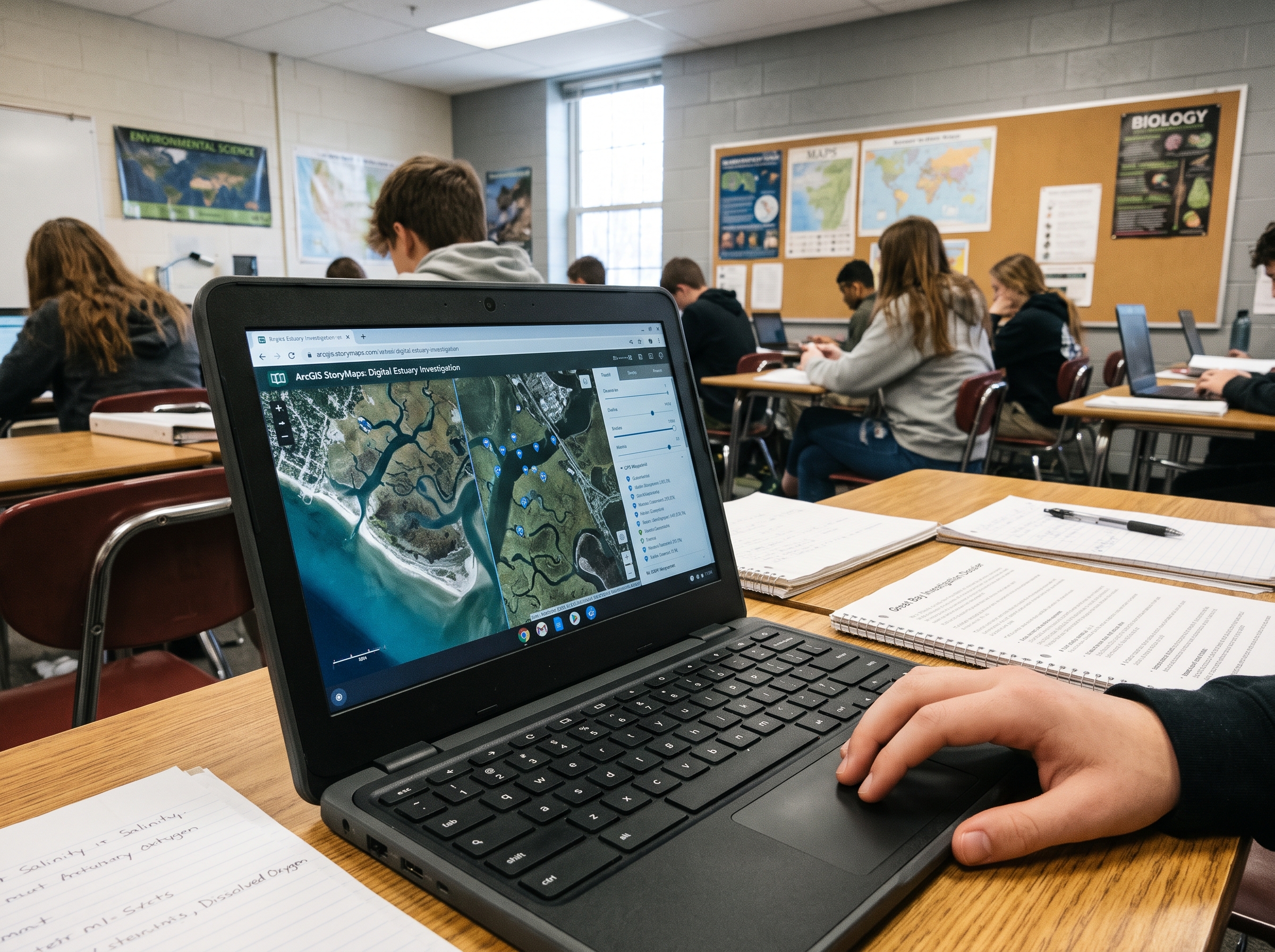
- Zero-IT Chromebook Access: Hosted natively via ArcGIS StoryMaps to run instantly on standard school devices and home laptops without downloads, student accounts, or firewall hurdles (fully FERPA/COPPA compliant).
- Authentic Digital Twins: Students navigate high-resolution aerial orthomosaics of local tidal creeks, slump banks, and salt marsh channels captured by our aerial survey platforms.
- Visual Environmental Forensics: Students trace stormwater culverts, track sediment plumes, inspect undercut peat banks, and use interactive split-screen sliders to evaluate human impact and living shoreline solutions.
- Coupled In-Situ Water Chemistry: Clickable GPS waypoints embed real-world water data collected directly from our skiff—including water clarity, salinity, and dissolved oxygen—turning students into environmental detectives.
For Educators: Downloadable Resource Bundles
Turnkey instructional scaffolding, LMS question banks, and DIY lab blueprints
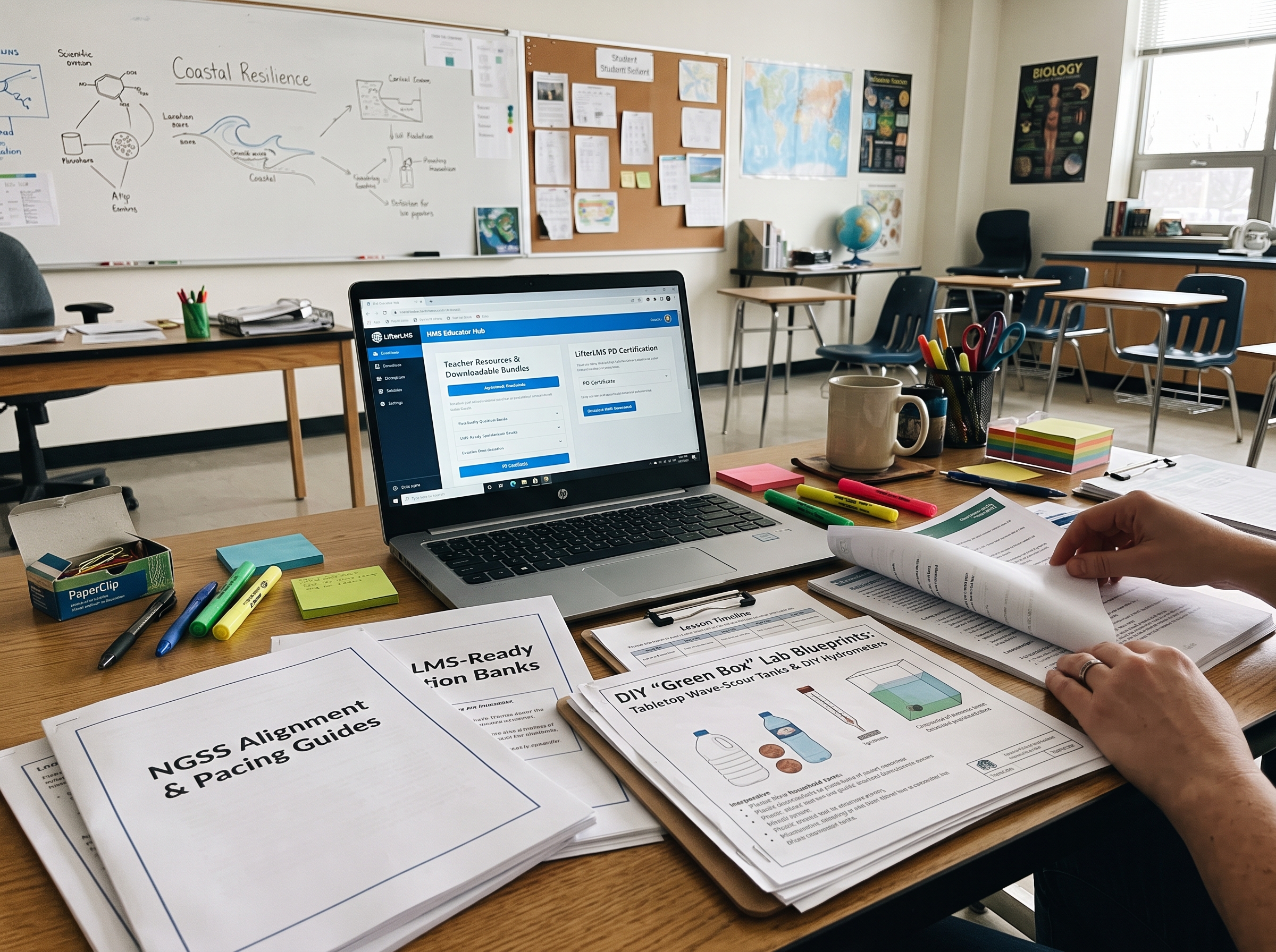
- NGSS Alignment & Pacing Guides: Explicit crosswalks to Middle and High School Earth, Life, and Physical Science standards with minute-by-minute 45-minute lesson timelines
- LMS-Ready Question Banks: 15 to 25 multi-format assessment items per unit (data extraction, chart analysis, and Claim-Evidence-Reasoning prompts) pre-formatted for direct import into Google Classroom and Canvas (.csv/QTI).
- DIY “Green Box” Lab Blueprints & Field Guides: Hands-on tactile experiments using $3 to $5 in household items (tabletop wave-scour tanks, DIY hydrometers) alongside printable “Boots on the Ground” field study sheets for homeschool families.
- Educator Hub & PD Certification: Verified educator access via LifterLMS to comprehensive answer keys, rubrics, and automated 1.0-Hour Professional Development (PD) Certificates for teacher recertification.
INFRASTRUCTURE & SENSORS
Agile Field Data Capture
We operate an agile aerial platform and shallow-water skiff as an in-house visual production studio, harvesting all curriculum assets across 8 to 12 targeted operational field days per year. Our surface and aerial platforms capture high-resolution baseline datasets with minimal ecological footprint.
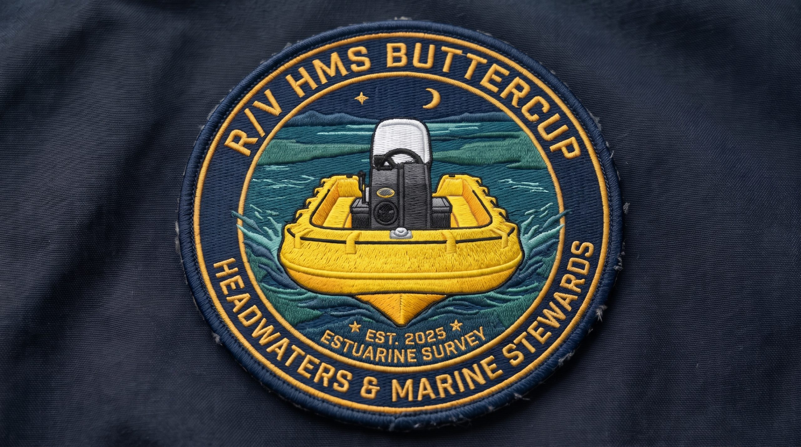
R/V HMS Buttercup (Shallow-Draft Skiff)
Built on an indestructible Whaly high-density polyethylene (HDPE) hull and powered by an ultra-efficient Tohatsu MFS30D, Buttercup navigates shallow marsh guts and tidal flats inaccessible to conventional research vessels. It serves as our low-impact mobile field lab—logging waterline-level photography alongside rapid in-situ water chemistry profiles (water clarity, salinity, and dissolved oxygen) with minimal wake and noise.
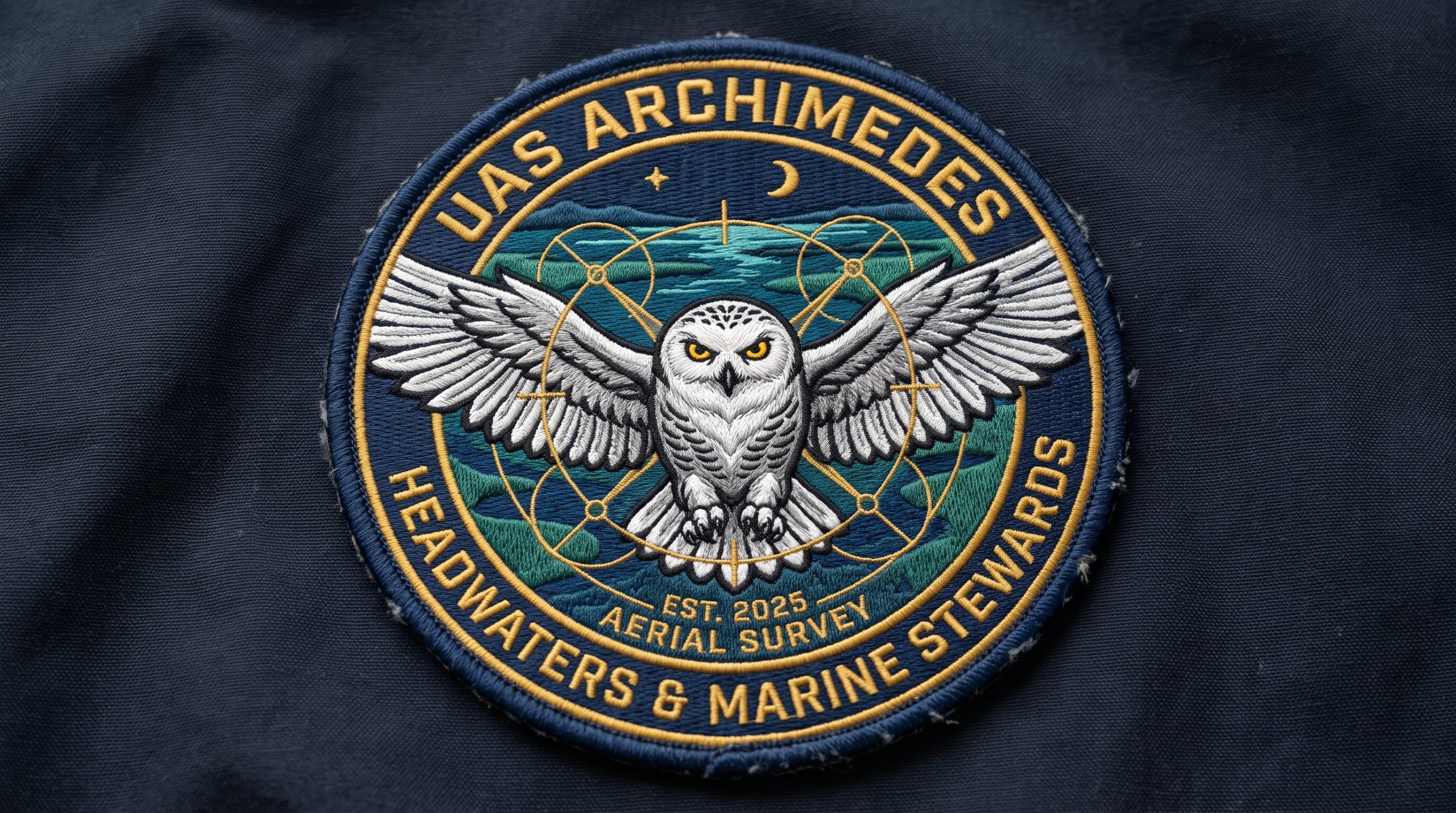
UAS Archimedes (High-Resolution Marine Aerial Mapping)
Combines an ultra-high-resolution optical payload with a marine-hardened deployment workflow designed specifically for coastal environments. Rather than relying on unsealed agricultural sensors that degrade over water, Archimedes captures sub-meter visual geomorphology—mapping sediment plumes, highway culvert discharges, and shoreline erosion to deliver clear, undeniable physical evidence for student investigations.
COLLABORATIVE FRAMEWORKS
Engaging with Headwaters & Marine Stewards
We partner with educators, homeschool families, and researchers to expand open access to coastal STEM education:
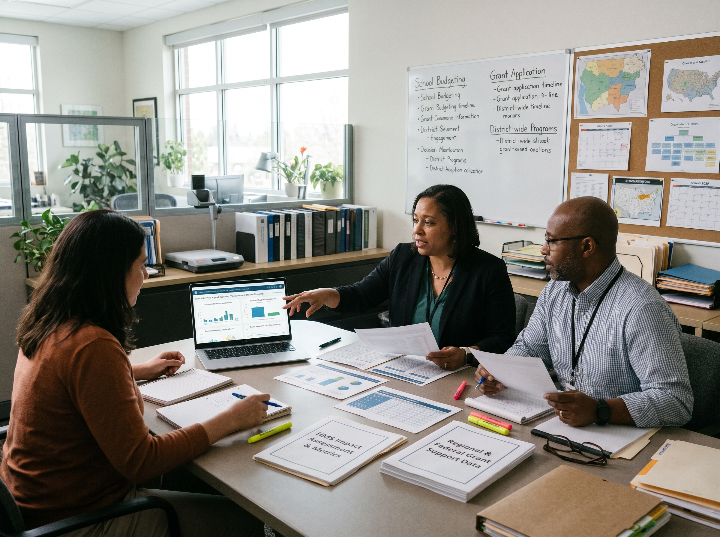
For Public School Districts
100% open-access digital modules and educator bundles for every classroom, with zero subscription costs and zero student data collection. Platform adoption provides the verified student-impact metrics required to secure regional and federal grant funding.
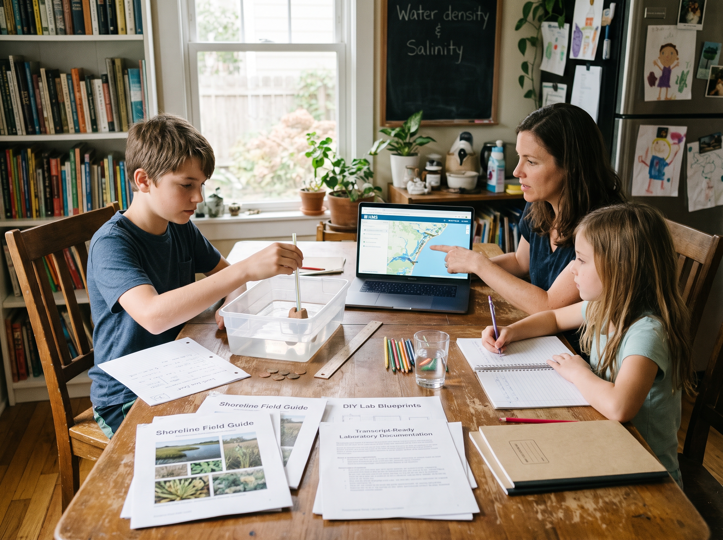
For Homeschool Families
Full access to digital investigations paired with printable, multi-age shoreline field guides, DIY lab blueprints, and transcript-ready laboratory documentation for homeschool co-ops.
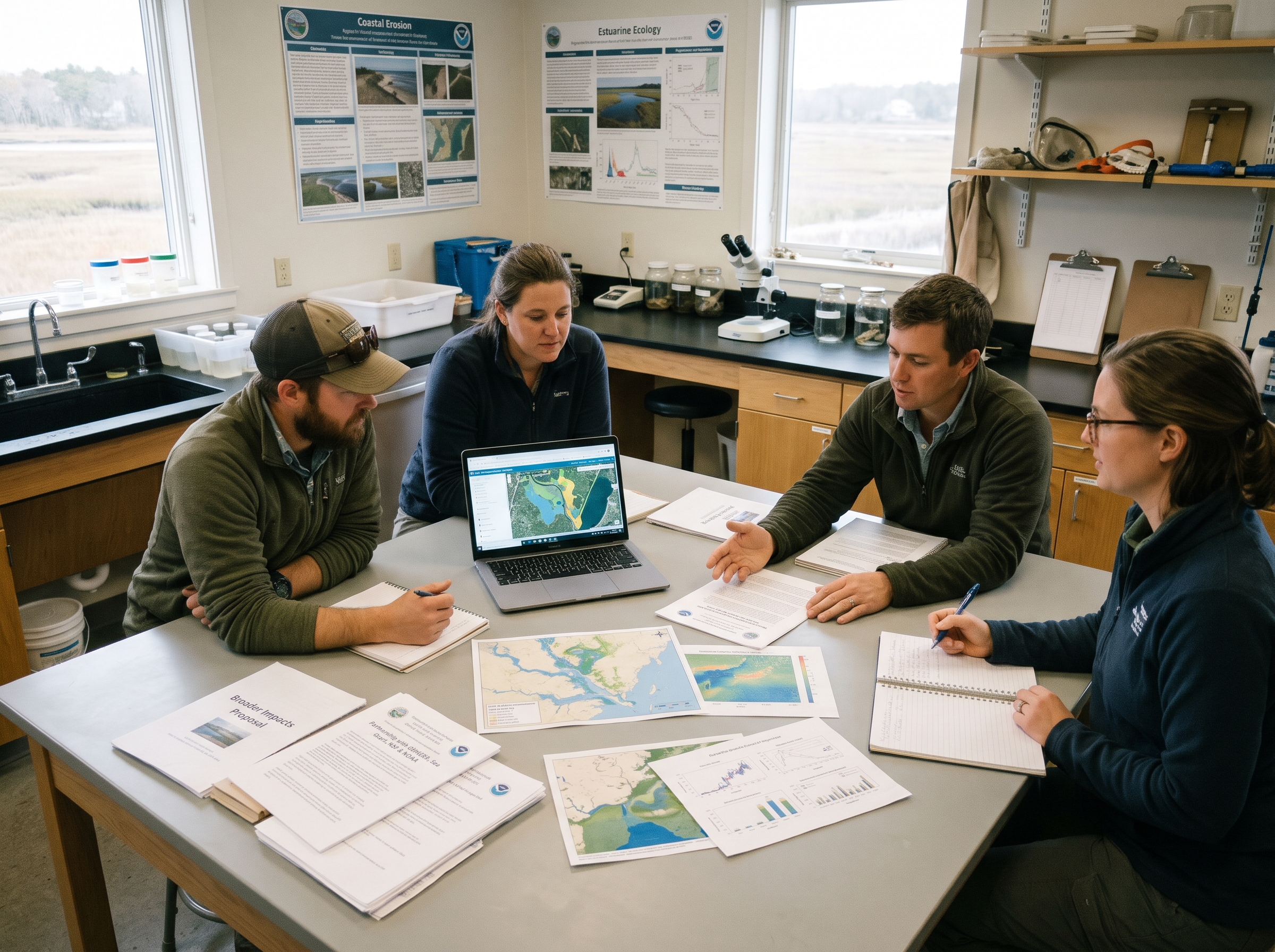
For Regional Partners & Marine Laboratories
Turnkey “Broader Impacts” partnerships for GBNERR, Sea Grant, NSF, and NOAA proposals, converting regional coastal research into interactive, NGSS-aligned classroom learning tools.
Board Governance & Institutional Foundation
Our leadership combines enterprise systems architecture, university administration, commercial geoscience laboratory management, and hands-on maritime experience.
Governed by Scientific, Academic, and Systems Leadership
Candid Platinum Transparency
Rated at GuideStar/Candid’s highest tier for fiscal accountability, public reporting, and board oversight.
State Registered Nonprofit
Registered and in good standing with the State of New Hampshire and the NH Attorney General’s Charitable Trusts Unit.
Interdisciplinary Leadership
Governed by senior leadership spanning applied marine education, systems design, academic curriculum development, and licensed remote aviation.
Shape Our 2027 Pilot Inquiry
We’re currently recruiting classroom teachers, homeschool co-op leaders, and educational researchers to review our inaugural reference module—Great Bay Forensic Lab: Investigating Coastal Runoff—and provide direct feedback on classroom pacing and usability.